BARRHEAD – Temperatures are doing a dive downwards into next week with Barrhead, Westlock and Athabasca dropping to single digits high temperatures starting Monday, Oct. 21.
Rain is forecasted for Sunday, Oct 20, with the evening temperature dropping to -1 for all three areas as per Environment Canada.
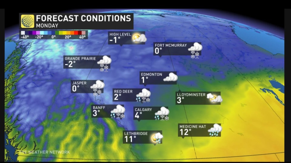
Early next week a low-pressure system pushes in the first potential snowfall.
Laura Powers, Meteorologist, stated, “A sharp decline in temperatures is headed to Alberta, and it’s accompanied by the potential for the first snowfall.”
“We’re seeing this cold Arctic air slowly seep southward and it will engulf the entire province by Monday.”
Monday, Oct. 21 in the evening the temperature forecast drops to -7 for Barrhead, Westlock and Athabasca according to Environment Canada.
That cold arctic air moves in during the evening and settles in for the remainder of the week.
Seeing single digit highs during the day is the first preview of the decline of warm fall days as we move into winter.
On almanac.com it shows across the prairies for Oct. 25-31 as sunny and chilly and then for Nov. 1-7 as snow showers east and rain west and cool.
There may be a warm-up in temperatures from Nov. 8-16 showing sunny and warm for the prairies, but the period of Nov 17-22 shows as snowy, heavy in the east and chilly.
There is no denying that the snow will come.


