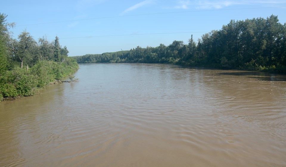
WESTLOCK – Westlock County unanimously approved amendments to its Flood Hazard Area regulations during its regular meeting on July 9.
The amendments, which received second and third readings after a public hearing at county chambers Tuesday morning, aim to streamline development processes while minimizing risks for landowners and the county.
Kathleen Deshoux, Senior Planning and Development Officer of Westlock County, highlighted in her report to council that the new regulations are based on predictive modeling using modern data and identify areas where future subdivision and development in the Pembina River Flood Hazard Area Overlay can proceed with minimal risk to the landowners and county.
The amendments also introduce updated exemption regulations that permit controlled development within the river’s floodway.
The decision follows initiatives dating back to 2019, when Westlock County established the Pembina River Flood Hazard Area Development Advisory Committee. This committee was tasked with creating a more detailed flood hazard map to supplement provincial data.
Last year, McElhanney Ltd. prepared a flood mapping report for the county, that included detailed information about the location of floodways, flood fringe areas, and recommended flood construction levels.
Using this detailed information, Westlock County crafted proposed amendments to integrate the findings and recommendations into its Land Use Bylaw for proposed development and subdivision applications in areas affected by the river’s flooding.
Throughout the process, Westlock County engaged with ratepayers through two open houses to present findings and receive feedback. The county only received one formal request for a copy of the proposed amendment.


