BARRHEAD-The County of Barrhead has issued a flood warning due to the rising water levels of both the Pembina and Paddle Rivers.
The municipality issued the warning May 26. It was followed by a similar announcement shortly after from the Town of Barrhead.
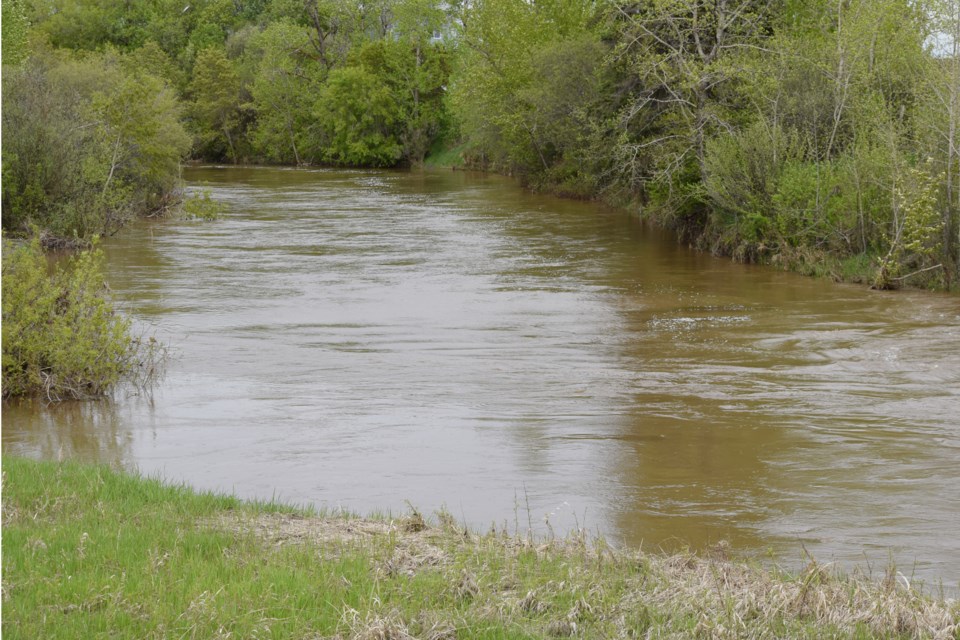
"High water levels are causing unsafe conditions along rivers and streams. Be aware of areas known to easily flood such as streams and drainage channels," the County of Barrhead warning stated.
The warning goes on to advise residents to avoid rivers, valleys and low-lying areas.
The high water levels are due to a combination of the spring melt as well as significant precipitation.
According to Environment Canada as of May 27, the Barrhead region has received an estimated 59.5 millimetres of rainfall. Water levels are expected to continue to rise for several more days.
As a result of the high water levels areas of the County of Barrhead have experienced overland flooding and have forced the municipality to close several roads including Range Road 40, near the Barrhead Golf Course, north of Township Road 592; Range Road 23 between Township Rods 593A and 600; Range Road 25A between Highway 764 and Township Road 583A; Township Road 582 between Range Road 33 and Highway 33; and Range Road 31 about 0.8 kilometres north of Township Road 582.
County manager Debbie Oyarzun who also doubles as the municipality's director of emergency management (DEM) said a lot goes into issuing such a warning, it is not as simple as staff monitoring the river levels and noticing whether certain areas are flooded.
She noted that monitoring the health and water levels of streams, rivers and lakes is a provincial responsibility under Alberta Environment and Parks (AEP) and that they have several monitoring stations across the province.
In the Barrhead region, for example, AEP monitors the water level and flow rate of the Paddle River in three locations, one near the Town of Barrhead, one on Highway 764 near Meadowview as well as a station near Sandgudo. As of May 27, the station measured the water level at the town monitoring station read 2,170 metres and a flow rate of 51.22 cubic metres per second (M3/s). AEP also has a water level monitoring station for Lac La Nonne as well as precipitation monitoring stations at the Barrhead Airport and Vega. The data can be seen at rivers.alberta.ca.
"[AEP official] also check our status, calling [municipalities] to ask if there is any flooding in the area. are there any homes at risk or is it agricultural land and roads," she said, noting on May 26 AEP contacted her three times for updates.
With this information, AEP then decides whether or not it should put out an advisory. On May 25, AEP put out a watch for the Pembina River upstream of Manola noting "flooding of properties and infrastructure along the river is possible."
A day later they issued a watch for the Paddle River downstream of the dam near Rochfort Bridge.
In the advisory issued by the Town of Barrhead stated that the province would be manging a controlled release at the dam to decrease reservoir levels cautioning people from "approaching river banks as they are unstable and can easily give way".
Oyarzun said, unfortunately, flooding often occurs at this time of year, noting the flooding the municipality saw in April impacted their infrastructure more than the current round with upwards of 20 road closures, including those that not only were blocked due to overland flooding but suffered damage such as sinkholes.


